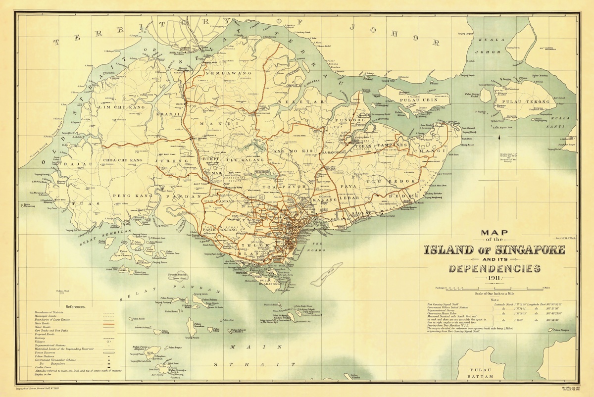
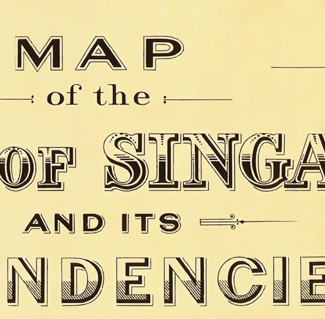
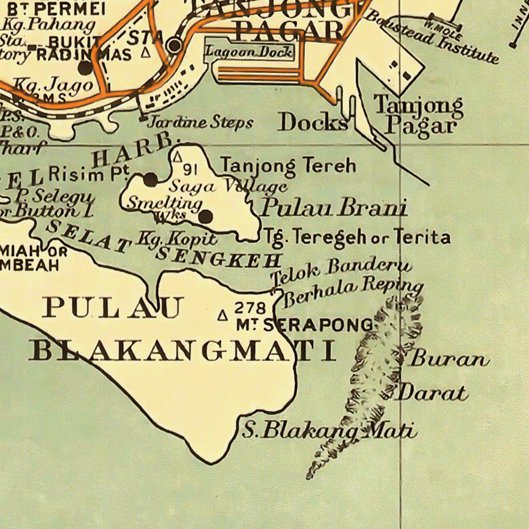
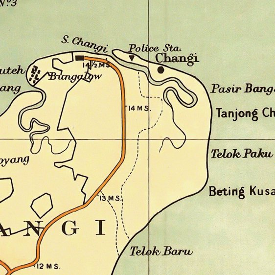
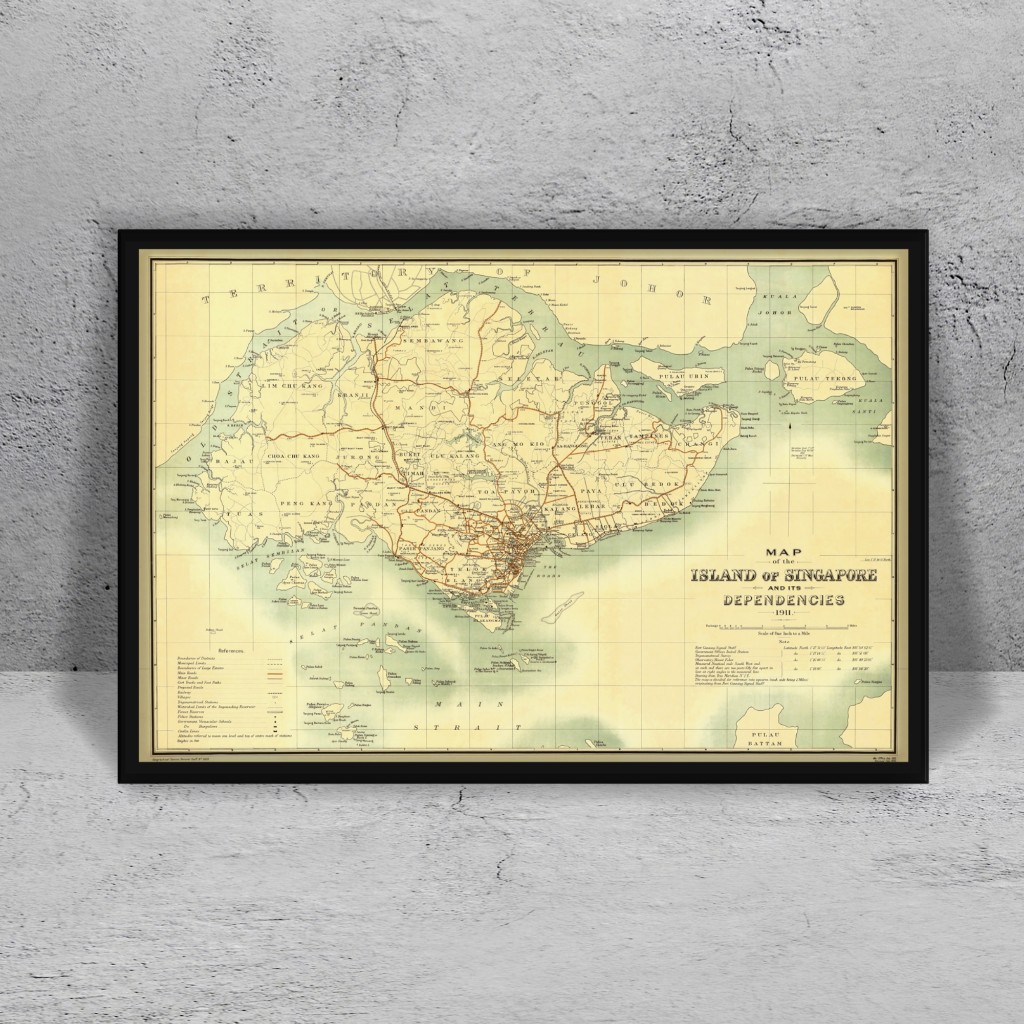
This vintage Singapore map is a replica of a military map created and used by the Geographical Section of the British Army in Feb 1911 (Revised in Feb 1916). The map includes clear indication of key installations like police stations, hospitals, docks etc. Main axis, railway tracks and water bodies are also clearly drawn to facilitate planning by the war office at Fort Canning Headquarters. This map is printed to scale of 1 inch to a mile.
- Version : Singapore Map 1911
- Type : Single-sided
- Size : 61 X 91.5 cm
*Frames not included. It can be purchased separately. Click here to check out on our frames.


